

Greenland: The Galaxy’s Most Ironically Named Real Estate Disaster
Greenland (not to be confused with Iceland, which is green, or with any planet that makes logical sense) is an enormous frozen landmass on Earth that demonstrates two fundamental truths about human civilization: they are spectacularly bad at naming things, and they have never quite mastered the concept of accurate cartography.
Formation
According to the Magrathean Planetary Archives (Revised Edition, Post-Bankruptcy), Greenland was not part of Earth’s original design specifications. The planet’s construction team, working under the supervision of Slartibartfast’s cousin Bjarnibartfast—who had failed his fjord-design finals twice—was given Greenland as a “practice piece” before being allowed to work on Norway.
Bjarnibartfast, eager to prove himself, created what he believed to be a masterwork of glacial architecture. Unfortunately, he misread the blueprints (they were in Vogon, which nobody reads properly) and built the entire thing 2.3 million square kilometers larger than specified and covered it in ice instead of the requested “pleasant shrubbery.”
When the project managers discovered the error, it was too late to dismantle it without voiding the warranty on the rest of Earth. They simply attached it to the top of the planet.
As for its name — well, this was possibly one of Earth’s earliest marketing campaign. Norse explorer Erik the Red was exiled there around 982 AD. He named it “Greenland” to make it sound appealing and attract settlers from Iceland. And why did he want to attract more settlers? The real reason can be summed up in an earth adage that goes like this: “Misery loves company.”
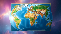
The Mercator Projection Incident
Here’s where things get peculiarly human: Greenland appears on most Earth maps to be roughly the same size as Africa. In reality, Africa is approximately 14 times larger. This is due to something called the Mercator Projection, a cartographic technique invented in 1569 by Gerardus Mercator, who was either a mathematical genius or having an elaborate joke at the expense of future generations.
The Mercator Projection stretches landmasses near the poles like taffy in a supernova, making Greenland look absolutely massive. This is rather like photographing a mouse from an angle that makes it appear to be eating Tokyo—technically accurate from one perspective, but wildly misleading to anyone planning to visit Tokyo.
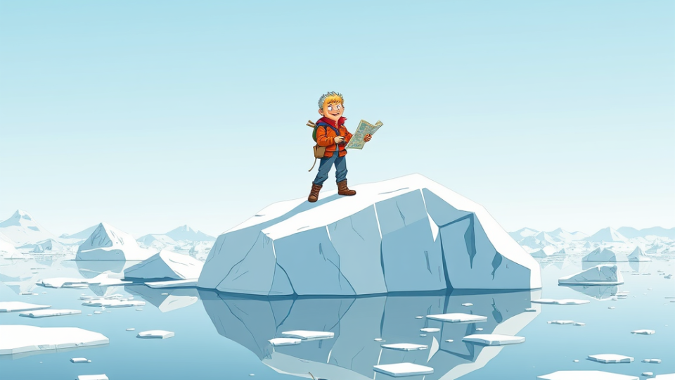
Greenland’s actual size is a mere 2.166 million square kilometers, making it the world’s largest island (if you don’t count Australia, which Earthlings have arbitrarily decided is a continent, presumably because it asked nicely). It is home to approximately 56,000 people and several billion tons of ice that are becoming noticeably less solid with each passing year—a situation the locals find “concerning” in the same way one might find a ticking bomb “somewhat inconvenient.”
The Trump Acquisition Proposal
In the early 21st century, a property developer named Donald Trump, who had somehow become President of the United States (a story too improbable to recount here without violating several laws of narrative causality), decided he wanted to purchase Greenland.
The reasons for this desire were magnificently confused. According to xenoanthropological research, Trump appeared to believe that:
- Greenland was actually the size it appears on Mercator Projection maps
- Real estate transactions work the same way between nations as they do between humans and other humans who haven’t read the fine print
- Denmark, which technically owns Greenland, would simply sell it like a used hovercraft
When Denmark politely suggested that Greenland was not for sale (being inhabited by people who rather liked living there), Trump reportedly became “very upset,” which is diplomatic language meaning he had what observers described as “a bit of a tantrum.”
The incident revealed a fascinating quirk of human psychology: despite having access to accurate satellite imagery, GPS systems, and several centuries of corrected cartography, many Earth leaders still make geopolitical decisions based on maps that are about as accurate as a Vogon’s sense of rhythm.
What Greenland Is Actually Like
Greenland is approximately 80% covered in ice, which makes it one of the few places on Earth accurately described by the phrase “a bit nippy.” The remaining 20% consists of rock, moss, and small communities of humans who have adapted to the cold by inventing something called “hygge,” which appears to involve candles, woolly jumpers, and pretending to enjoy the darkness.
The island is home to polar bears, Arctic foxes, and the occasional confused tourist who thought they were going to Iceland. It has no roads connecting its towns—residents travel by boat, helicopter, or dog sled, which is either charmingly traditional or a massive failure of infrastructure planning, depending on your perspective.
Current Status
Greenland remains part of the Kingdom of Denmark, though it has home rule and is slowly melting into the sea, which may eventually resolve all territorial disputes through the simple expedient of ceasing to exist.
The United States has not acquired it, despite Trump’s enthusiasm. Denmark has not sold it. The 56,000 Greenlanders continue to live there, presumably wondering why everyone keeps arguing about who owns their home without actually asking them.
The ice continues to melt at an alarming rate, which means that in a few centuries, Greenland might actually become green, finally making its name accurate just in time for it to be underwater.
Yoast SEO Meta Description: Discover why Greenland isn’t green, is smaller than maps suggest, and why a US President wanted to buy it based on cartographic confusion. A humorous guide to Earth’s most ironically named island.